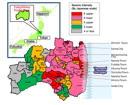
- "2011 off the Pacific coast of Tohoku Earthquake", which occurred on March 11, 2011, off the Sanriku coast, recorded a magnitude of 9.0, making it the largest earthquake in Japan's recorded history. It reached a maximum seismic intensity of 7 on the JMA scale. It caused serious damage to the entire Prefecture with heavy shaking and a large tsunami that struck a wide area along the coast.
- View details of the damage here
Real-time report on the damage in 2011 off the Pacific Coast of Tohoku Earthquake [Japanese only]
Epicentre and seismic intensities in various areas of the prefecture
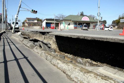
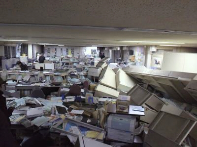
Photos of the damage (Earthquake)
 |
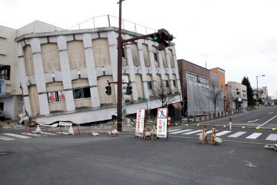 |
| 【Yoshimine in Sukagawa City】(March 2011) | 【Hachiman-machi in Sukagawa City】(March 2011) |
 |
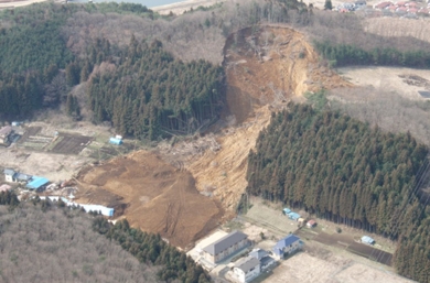 |
| 【7th Floor of the West Building of Fukushima Prefectural Office】(March 11, 2011) | 【Hano-ki Daira in Shirakawa City】(March 25, 2011) |
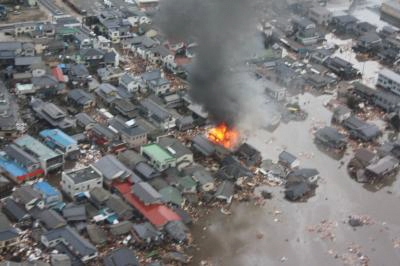
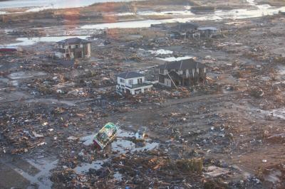
Photos of the Damage (Tsunami)
 |
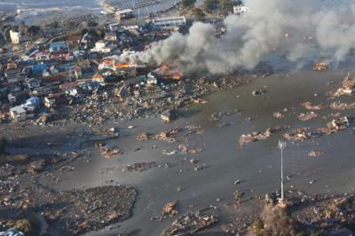 |
| 【Hisanohama in Iwaki City】(March 11, 2011) | 【Surroundings of Soma Port in Soma City】(March 11, 2011) |
 |
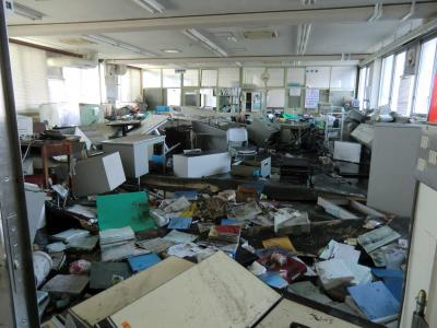 |
| 【Ukedo in Namie Town】(March 12, 2011) | 【Inside Onahama Port Office】(March 12, 2011) |
Casualties (As of 1 Nov. 2025)
- Deaths 4,181 (This number includes 2,350 disaster-related deaths*)
*Disaster-related deaths are not caused directly by the disaster, but occur afterwards due to indirect causes including stress and decline in health from living as evacuees.
Status of housing damage (As of 1 Nov. 2025)
| Totally destroyed: 16,084 houses | Half destroyed: 87,310 houses |
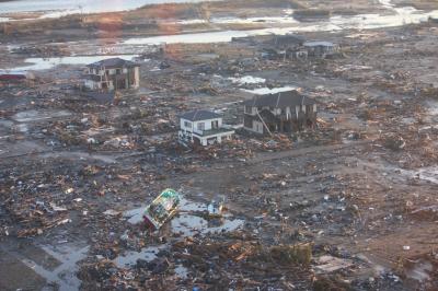 |
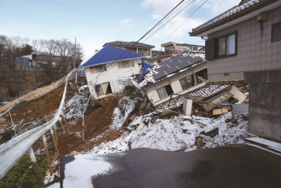 |
|
Extensive damage caused by tsunami: Namie Town |
Status of housing damage: Fukushima City (Photo courtesy of Fukushima City) |
Cost of damage in Fukushima Prefecture (As of 23 Mar. 2012)
|
Reported cost of damage for public works facilities |
About JPY 316.2 billion |
|---|---|
|
Reported amount of damage on agricultural, forestry and fishery facilities |
About JPY 275.3 billion |
|
Reported amount of damage on educational facilities |
About JPY 37.9 billion |
|
Total of reported amount of damage on public facilities |
About JPY 629.4 billion |
*Areas under the jurisdiction of the prefectural government: for the 30 km radius surrounding the Fukushima Daiichi Nuclear Power Station (F1NPS), damage costs were estimated based on aerial photographs. Areas under the jurisdiction of municipalities: Excludes approximate cost of damage for a part of Minamisoma City and 8 municipalities located in the Futaba area.
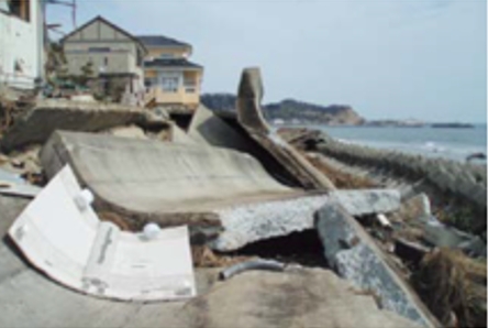 |
 |
|
Iwaki City: Levee |
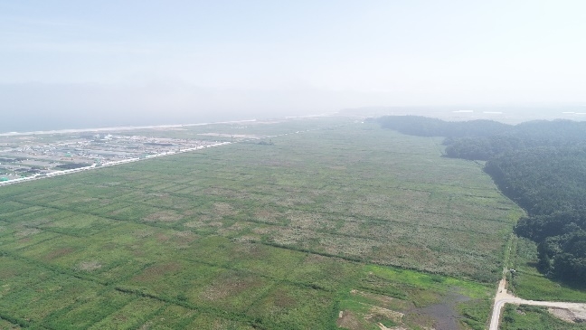
Tsunami flooded farmland: Namie Town |


